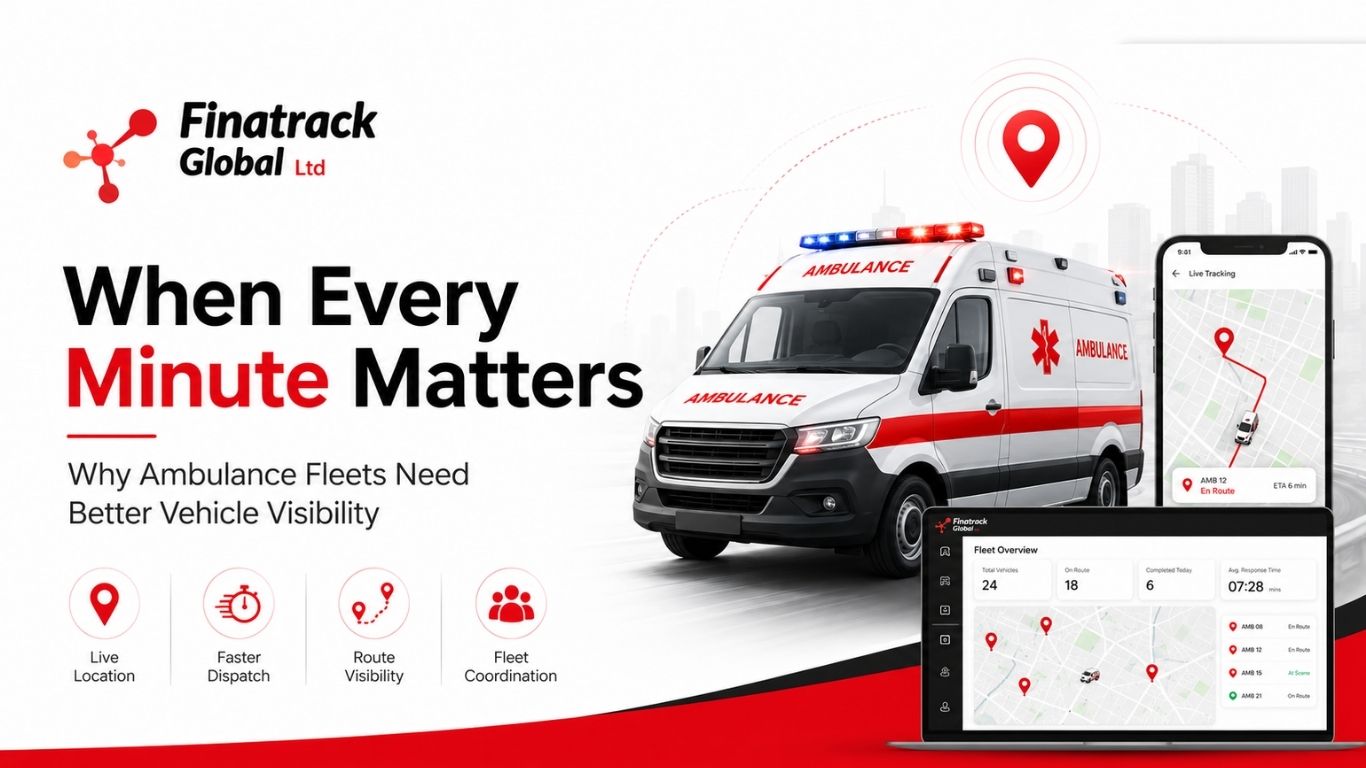
An ambulance is not simply another company vehicle. When an emergency call is received, the location of the nearest available unit can influence how quickly help begins moving towards the patient. For organisations operating several ambulances, knowing exactly where vehicles are becomes an operational requirement rather than a convenience.
GPS tracking gives authorised dispatchers a central view of ambulance locations and movement. Instead of calling several drivers to determine who is closest to an emergency, the dispatcher can review available vehicle positions and coordinate the most appropriate response. This can reduce unnecessary communication during situations where time already matters.
Location visibility can also improve fleet coordination between hospitals, clinics and satellite stations. One ambulance may be returning from a transfer while another is stationed several kilometres closer to a new incident. A central platform allows dispatchers to make decisions based on actual vehicle positions rather than assumptions.
Trip history can support operational review after emergencies have been handled. Management can examine how vehicles moved, where delays occurred and whether certain locations consistently create longer response journeys. This information can help organisations refine ambulance deployment strategies over time.
Geofencing may provide additional value around hospitals, ambulance bases and other important locations. Dispatchers can identify when vehicles arrive or leave these areas and gain a clearer understanding of fleet availability. The system can also support management of vehicles assigned to different facilities.
Driver behaviour remains particularly important because emergency driving can create additional road risk. Speed information should always be interpreted within the nature of the operation, but telematics can still help managers identify patterns requiring review. AI dashcams can add video context during accidents or disputed road incidents involving emergency vehicles.
Vehicle condition is equally critical. An ambulance that breaks down while responding to an emergency is not simply a maintenance inconvenience; it can compromise the service the organisation is trying to deliver. Mileage information can help fleet managers understand which vehicles are being used most intensively and plan maintenance more accurately.
GPS tracking can also support breakdown response. If an ambulance becomes stranded, the fleet manager can identify its location and coordinate assistance. Another unit may be dispatched where operationally appropriate, reducing the amount of time the service remains disrupted.
Security still matters even though ambulances are specialised vehicles. Unauthorised after-hours movement, unexpected ignition activity or unusual route deviations can be investigated using tracking information. Organisations should establish clear procedures for who has access to this information and how alerts are handled.
Patient confidentiality should remain separate from vehicle tracking. A GPS platform shows vehicle movement and should not be used as a substitute for clinical records or unnecessary monitoring of individuals. Fleet data should be managed for legitimate operational, safety and asset-management purposes.
Finatrack Global Ltd provides GPS tracking and fleet telematics solutions that can support organisations operating emergency and service fleets in Kenya. Enquiries can be made through 0723 645 810, www.finatrack.co.ke, or at Vision Plaza, 1st Floor, Office 2, Mombasa Road, Nairobi.
Emergency response begins before the ambulance reaches the patient. It begins with knowing which vehicle can move first, where it is and whether it is ready to respond.