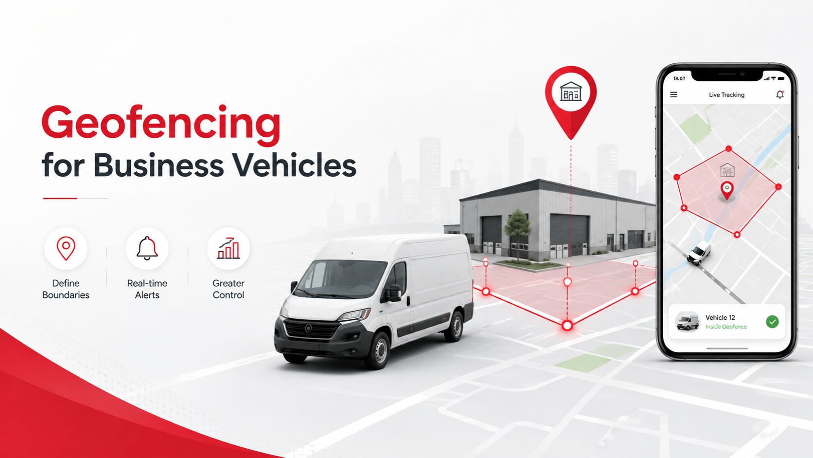
For businesses that depend on vehicles to deliver goods, move employees, visit customers or transport equipment, knowing where those vehicles are is only part of effective fleet management. The more important question is whether they are being used where and when they are supposed to be. Geofencing gives businesses a practical way to monitor those boundaries without requiring a fleet manager to watch every vehicle continuously.
A geofence is a virtual geographical boundary created within a GPS tracking platform. The boundary can be drawn around a specific location such as an office, warehouse, construction site, customer premises, branch or operating territory. Once a company vehicle crosses that boundary, the system can generate an alert or record the event for later review.
This allows fleet management to become more proactive. Instead of discovering at the end of the day that a vehicle travelled outside its authorised area, management can be notified when the movement occurs. For businesses managing several vehicles, this can significantly improve visibility and accountability.
Consider a distribution company operating delivery vans around Nairobi. Each vehicle may be assigned to a particular route or geographical territory. Without GPS monitoring, management may have limited visibility once the vehicles leave the warehouse. Drivers may take unnecessary detours, use company vehicles for personal errands or travel into areas unrelated to their assignments.
Geofencing allows the business to define the areas in which vehicles are expected to operate. If a delivery vehicle leaves its assigned territory, the system can create an alert that allows the fleet manager to investigate. The alert does not automatically prove that something is wrong, because route changes may sometimes be legitimate, but it gives management information that would otherwise be difficult to obtain.
The same technology can be used around company premises. A business can create a geofence around its warehouse or parking yard and record when vehicles enter or leave. This can provide a clearer picture of departure and return times without depending entirely on manual gate registers.
For logistics businesses, this can improve operational planning. Management can see when a truck left the depot, when it arrived at a customer location and when it returned. Over time, these records can help businesses understand how long vehicles spend on particular routes and where unnecessary delays may be occurring.
Geofencing can also improve security. A vehicle that should remain parked overnight can be placed within a virtual boundary around the company yard, residential compound or another authorised parking location. If the vehicle leaves that area unexpectedly, the tracking system can generate an alert.
This can provide an early warning of possible theft or unauthorised use. Instead of discovering several hours later that the vehicle has disappeared, the owner or fleet manager may be able to identify unexpected movement much sooner.
For companies operating high-value vehicles or equipment, that difference can be important. The earlier suspicious movement is identified, the more quickly the business can check the tracking platform, contact the driver or escalate the matter to the appropriate security personnel where necessary.
Construction companies can also use geofencing to monitor vehicles and equipment assigned to particular sites. A truck, excavator or other mobile asset may be expected to remain within a project area for several weeks. If the asset moves outside that location unexpectedly, management can investigate before the movement becomes a larger security issue.
The technology can be equally useful for field service companies. A business operating technicians, sales representatives or maintenance teams may assign company vehicles to specific regions. Geofencing provides an additional way of confirming that vehicles remain within expected operating areas while still allowing employees to perform their duties without continuous phone calls from management.
One of the strongest advantages of geofencing is that it reduces the need for constant manual monitoring. A fleet manager does not need to sit in front of a screen watching every vehicle move across a map. The system can instead be configured to highlight events that require attention.
This event-based approach is particularly valuable as fleets grow. Monitoring five vehicles manually may be manageable, but following the movements of fifty or one hundred vehicles throughout the day quickly becomes unrealistic. Geofencing allows the tracking platform to do much of the monitoring automatically.
Businesses can also create geofences around customer locations. A delivery company may want to confirm when a vehicle arrives at a major customer’s premises and when it leaves. This information can support delivery records and help management understand how long vehicles spend waiting at customer locations.
For businesses where delays affect profitability, this can reveal operational problems. A truck that consistently spends several hours at one loading point may indicate congestion, slow documentation or another process that deserves attention.
Geofencing can also support route compliance. A company may have vehicles that are authorised to operate within Nairobi but should not travel outside the metropolitan area without approval. A geographical boundary can provide an alert when such movement occurs.
This is especially useful where company vehicles are allocated to employees who are allowed to take them home but are not permitted to use them for unrelated personal travel. Clear vehicle policies combined with geofencing can provide management with greater visibility while reducing the need to continuously supervise individual employees.
Businesses should nevertheless use the technology responsibly. Geofencing is intended to support asset management, security and legitimate operational control. It should not become an excuse for unnecessary surveillance of employees.
Where company vehicle tracking can identify individual drivers, employers should explain why the system is being used and how tracking information may be accessed. Clear policies can help employees understand that the purpose is protecting company assets and improving fleet operations rather than monitoring personal movements without justification.
The quality of the geofence itself also matters. An excessively small boundary may generate unnecessary alerts whenever GPS positioning shifts slightly around its edge. A boundary that is too large may fail to provide useful information.
Businesses should therefore configure geofences according to their actual operational requirements. A warehouse may require a relatively tight boundary, while a sales territory may cover several towns or counties.
Fleet managers should also understand that a geofence alert provides information rather than a final conclusion. If a vehicle leaves an authorised area, the first response should normally be to understand why. The driver may have been avoiding traffic, responding to a customer request or following an authorised route change.
This is where geofencing works best when combined with other GPS tracking information. Management can review the vehicle’s current location, trip history, speed, ignition status and route before deciding whether further action is necessary.
Historical geofence records can also provide useful management information. Instead of examining isolated events, businesses can identify patterns over several weeks or months. A particular vehicle may repeatedly leave its assigned operating area, while another may consistently arrive late at specific customer locations.
These patterns can support better fleet management decisions. Management may discover that a route is poorly designed, that a delivery territory is too large or that a particular vehicle is being used inefficiently.
For commercial fleets, geofencing can also complement fuel management. If a fuel monitoring system records an unusual reduction in the fuel tank, GPS information can help establish where the vehicle was at the time. If that location falls outside the vehicle’s authorised operating area, the event may deserve closer investigation.
Geofencing can also be combined with driver behaviour monitoring. A fleet manager may receive information showing that a vehicle left its operating area and later generated excessive speed alerts. Looking at these events together provides much more context than examining each alert individually.
The technology is therefore most valuable as part of a broader telematics system. GPS tracking provides location, trip history provides historical movement, driver monitoring provides behaviour information and geofencing creates automated geographical controls around the fleet.
For small businesses, this can bring a level of fleet visibility that was once associated mainly with large logistics companies. A company with only a handful of vehicles can create boundaries around its office, customer locations and approved operating areas while receiving alerts through the same tracking platform used to monitor vehicle location.
For larger organisations, geofencing can help standardise fleet controls across several branches. Vehicles assigned to different regions can have different operating areas, allowing management to apply rules that reflect each branch rather than treating every vehicle identically.
The effectiveness of the system still depends on professional installation and reliable connectivity. A GPS tracker must be properly installed and communicating with the tracking platform for location-based alerts to function consistently. Businesses should therefore choose tracking providers based not only on price but also on installation quality, platform reliability and after-sales support.
Finatrack Global Ltd provides GPS tracking and fleet telematics solutions for businesses operating company vehicles in Kenya. Depending on the solution selected, fleet managers can access real-time vehicle location, trip history, ignition information, speed alerts, geofencing and other operational data through a central tracking platform.
For a business, the value of geofencing is not simply knowing that a vehicle crossed an invisible line on a map.
It is knowing when something happens outside the normal operating pattern.
That information can help reduce unauthorised vehicle use, improve security, confirm customer visits and give fleet managers greater control without requiring constant manual supervision.
The most effective fleet management systems do not simply show where vehicles are.
They help businesses understand when those vehicles are somewhere they should not be.
For professional GPS tracking, geofencing and fleet telematics solutions in Kenya, contact Finatrack Global Ltd on 0723 645 810 or visit www.finatrack.co.ke.