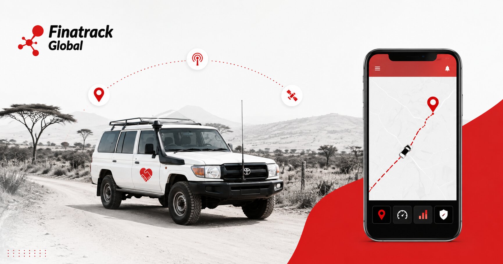
Non-governmental organisations, development agencies and field-based projects often operate some of the most geographically dispersed vehicle fleets in Kenya. A project may have its administrative office in Nairobi while pickups, vans and motorcycles spend most of their time working in counties hundreds of kilometres away. Once those vehicles leave head office, management must still account for their security, fuel, mileage, drivers and maintenance even when supervisors cannot physically see them.
This creates a different fleet-management challenge from running vehicles within one city. A field vehicle may spend several days travelling between project sites, communities, health facilities or partner organisations before returning to the main office. Phone calls and handwritten logbooks can provide useful information, but they may not give managers enough independent visibility to understand how vehicles are actually being used.
GPS tracking can help bridge this distance. Depending on the system installed, authorised managers can view the current or most recently reported location of field vehicles, review trip history, monitor mileage and configure selected alerts. This gives organisations a central source of movement information while allowing teams in the field to continue working without constant calls from head office.
For NGOs managing donor-funded programmes, vehicle accountability can be particularly important. Transport costs may form a significant part of project expenditure, and organisations need to demonstrate that vehicles are being used for legitimate programme activities. GPS tracking does not replace proper financial and operational records, but it can provide additional evidence showing how project vehicles were deployed.
Consider an organisation implementing several projects across different counties. One vehicle may be assigned to a health programme in Turkana, another to agricultural field visits in Nakuru and another to community outreach around Machakos. Without central tracking, senior management may depend almost entirely on reports submitted by individual field offices.
A GPS platform can provide a broader view. Management can see which vehicles are active, which remain parked and which have travelled outside their normal operating areas. This information makes it easier to identify unusual activity without requiring daily supervision of every driver.
The technology can also improve communication between headquarters and field teams. If a programme manager wants to know whether a vehicle has reached a project location, the answer does not always need to come through another phone call to the driver. The latest vehicle position can provide useful operational context before management decides whether further communication is necessary.
This reduces unnecessary interruptions for drivers who may already be dealing with difficult roads, field activities and long distances. A driver travelling between communities should not have to repeatedly answer calls simply to confirm where the vehicle is. GPS tracking allows the vehicle to provide part of that information automatically.
Trip history becomes especially valuable after field assignments have been completed. Managers can review where a vehicle travelled, when journeys occurred and approximately how long the vehicle remained at different locations. These records can help organisations compare actual movement with planned field activities.
GPS location should still not be treated as proof that a programme activity was completed. A vehicle reaching a health centre does not prove that training, service delivery or community engagement took place. The organisation still needs attendance records, field reports, delivery documentation and other programme evidence.
What tracking can establish more reliably is the movement of the vehicle itself. If the field report states that a team visited three locations during the day, trip history can provide supporting information showing whether the project vehicle travelled through those areas. This strengthens accountability without asking GPS technology to prove something it cannot.
Mileage is another major reason NGOs should consider structured vehicle tracking. Field programmes can generate substantial kilometres, particularly where communities are widely dispersed. A pickup assigned to remote field work may accumulate mileage much faster than another vehicle attached to the Nairobi office.
If maintenance is scheduled only according to calendar dates, these differences can easily be missed. The heavily used vehicle may become overdue for service while a lightly used unit is serviced earlier than necessary. GPS mileage information provides management with a clearer picture of how quickly each asset is being consumed.
This matters because vehicle reliability can directly affect programme delivery. A breakdown may prevent health workers from reaching a clinic, agricultural officers from visiting farmers or project staff from attending an important community meeting. The cost is therefore not limited to the mechanical repair because project activities can also be delayed.
Preventive maintenance becomes easier when management knows which vehicles are accumulating the greatest mileage. Fleet staff can schedule servicing before a field vehicle becomes mechanically unreliable and coordinate workshop visits around programme activities. This is particularly important for vehicles working far from Nairobi where specialist repairs may not be easily available.
Remote breakdowns are another challenge. A driver working on an unfamiliar rural road may struggle to explain the exact location to a mechanic or recovery provider. GPS tracking can provide the latest reported position and help the organisation coordinate assistance more accurately.
This can significantly reduce uncertainty when vehicles operate far from major towns. Instead of asking a driver to describe nearby landmarks, the fleet manager can use the location information as the starting point for dispatching help. Another organisation vehicle operating nearby may sometimes be able to assist depending on the circumstances.
Fuel management also becomes more difficult as projects move farther away from head office. Drivers may refuel at different stations, travel through remote areas and submit receipts several days later. Management may know how much fuel was purchased without having a clear picture of the journeys that generated the consumption.
GPS trip and mileage information provide useful context. If one vehicle uses substantially more fuel than comparable units while covering similar distances, the organisation has a reason to investigate further. Mechanical condition, route differences, idling, driving behaviour and legitimate field requirements can all affect consumption.
This should not automatically be treated as evidence of fuel theft. Remote field work can involve poor roads, long periods of idling or routes that appear short on a map but are demanding in practice. GPS information helps management ask better questions before making conclusions.
For organisations operating trucks, larger project vehicles or equipment where fuel represents a major cost, dedicated fuel monitoring may provide additional information. Depending on the vehicle and installation, fuel level data can be reviewed alongside location and movement. This can strengthen fuel accountability where the cost and operational risk justify the additional technology.
Idling can also affect fuel expenditure. A project vehicle may remain stationary with the engine running while staff conduct field work, wait for community members or operate equipment. Some of this may be necessary, while other periods may simply reflect avoidable operating habits.
Tracking and ignition information can help identify repeated stationary engine periods depending on the system installed. Managers can then investigate why they occur rather than assuming every instance is unnecessary. The objective should be reducing genuine waste without interfering with legitimate field operations.
Route planning presents another opportunity. Field teams sometimes travel long distances between activities because schedules are created according to programme priorities rather than geography. This can result in vehicles repeatedly crossing the same region instead of grouping nearby visits.
Trip history can help programme and logistics teams see how these routes actually work. If vehicles repeatedly travel unnecessary kilometres between project locations, field schedules may be reorganised where programme requirements allow. Even modest route improvements can reduce fuel and vehicle wear across long-running projects.
This becomes especially important where donor funding is limited. Money saved through better transport planning can potentially support more programme activity rather than being absorbed by unnecessary operating costs. Fleet efficiency therefore contributes indirectly to the organisation’s broader mission.
Vehicle utilisation should also be reviewed. An NGO may have one project vehicle operating almost continuously while another remains parked at a different field office for much of the month. Management may not realise how unevenly the fleet is being used because the vehicles are geographically separated.
GPS tracking can reveal these differences. If a suitable vehicle is underused at one location while another project repeatedly struggles with transport capacity, management can consider whether temporary reassignment is practical. Better use of existing vehicles can reduce the pressure to hire or purchase additional units.
The opposite conclusion may also emerge. If tracking records show that every suitable vehicle is operating intensively and field teams are still experiencing transport shortages, the organisation has stronger evidence that additional capacity may be required. Fleet expansion can then be supported by actual utilisation data rather than general impressions.
Geofencing can be especially useful for project vehicles assigned to particular regions or sites. A virtual boundary can be created around a project area, field office, warehouse or other important location. Depending on the tracking platform, management can identify when the vehicle enters or leaves that zone.
A geofence should not automatically become a disciplinary tool. Field work is unpredictable, and employees may legitimately need to travel outside an expected area to respond to emergencies, visit partners or complete changing assignments. The alert simply makes the movement visible so that it can be understood within the operating context.
Unexpected after-hours movement can deserve closer attention. A vehicle assigned to a field office may be expected to remain parked overnight unless an emergency assignment has been approved. If the vehicle begins moving late at night, management can verify whether the activity is legitimate.
This can help reduce unauthorised personal use of project vehicles. Every unnecessary kilometre creates additional fuel, maintenance and depreciation costs, even if the employee is not directly charging the organisation for the journey. Clear policies should therefore define when project vehicles can be used and who may authorise exceptions.
Tracking should support those policies rather than replace them. Employees need to understand whether vehicles may be taken home, whether personal use is permitted and what procedures apply outside working hours. A GPS system is much easier to manage when expectations are already clear.
Vehicle security is another major concern for NGOs operating in remote areas. A project pickup may spend nights at field offices, hotels, camps or locations where the organisation has limited physical security infrastructure. The vehicle may also carry communications equipment, programme materials or other valuable assets.
GPS tracking provides another layer of visibility if the vehicle moves unexpectedly. Depending on the tracker and configuration, ignition, movement or power-disconnection information may provide further context. Early awareness can help management verify unusual activity before valuable time is lost.
High-value project vehicles may justify layered security rather than one tracker alone. A wired GPS tracker can provide primary everyday tracking, while a separate wireless tracker or tracking tag can add backup visibility. Alarm or immobilisation solutions may provide additional protection depending on the vehicle and operating environment.
The objective is redundancy. If one tracking device is discovered, loses power or becomes unable to communicate, another security layer may still provide useful information. Organisations should select the level of protection according to the value of the asset and the risk associated with its operating environment.
Weak mobile network coverage is particularly relevant for NGO and field project vehicles. Many programmes operate precisely in areas where infrastructure is limited, and a tracker may temporarily stop sending live updates when cellular communication becomes weak. This does not necessarily mean the tracker has failed.
GPS positioning and mobile communication perform different functions in most tracking systems. The device may still determine its position using satellite signals while temporarily being unable to transmit that information to the server. The tracking application can therefore show the vehicle as offline even while it continues travelling.
The last update time becomes extremely important. A vehicle icon appearing at one location may represent the last successfully transmitted position rather than the vehicle’s current location. Managers should always check the timestamp before using the map to make operational decisions.
Depending on the tracker and configuration, journey records may be stored during the communication gap and uploaded after connectivity returns. This can allow management to review the route later even though live visibility was interrupted. Organisations operating remote fleets should understand whether their installed devices support this type of offline storage.
Patterns are often more useful than individual offline events. If the tracker regularly loses communication in the same remote area and reconnects once the vehicle reaches stronger coverage, the behaviour may be explained by the network environment. A device that remains offline after returning to a normally connected location deserves technical investigation.
This distinction prevents unnecessary panic while still protecting fleet visibility. Field managers should know the difference between an expected coverage gap and a tracking device that has genuinely stopped functioning. Technical support from the tracking provider becomes particularly important where projects operate in difficult network environments.
Tracker health checks should therefore form part of fleet management. A vehicle can continue serving communities normally even when its GPS tracker has been offline for several weeks. If nobody reviews last update times, the problem may only become obvious during a security incident.
A simple periodic fleet review can prevent this. Management can identify vehicles that have not communicated recently, confirm whether the issue is expected and arrange technical inspection where necessary. The process becomes more important as the number of field vehicles grows.
Vehicles should also be checked after battery replacement or major electrical work. A mechanic working at a remote field location may accidentally disturb tracker wiring while repairing another problem. The vehicle can return to programme activity while management assumes tracking remains available.
Opening the tracking application after workshop work is therefore a useful habit. Confirm that the vehicle has a recent location and that a test journey appears normally. Where ignition or other selected functions are important, those should also be checked.
Driver safety is another area where telematics can support NGO operations. Field drivers may cover long distances, operate on difficult roads and spend many hours behind the wheel. Repeated speeding or aggressive driving can expose staff, programme beneficiaries and organisation assets to unnecessary risk.
Depending on the tracking system, management may be able to review speeding and selected driving events. These should be interpreted as patterns rather than automatic evidence of poor performance. Road conditions, emergencies and operating environments can create individual events that require context.
Driver coaching can become more targeted when repeated patterns are visible. If one driver consistently records higher risk activity than colleagues operating similar vehicles and routes, management can investigate and provide additional training. The goal should be improving safety rather than creating a punishment-based monitoring culture.
AI dashcams can add further context for organisations requiring more advanced road-safety monitoring. GPS data can show where an event occurred, while video may help explain what happened immediately before an accident or harsh driving event. This can support internal investigation and driver development.
Privacy should be considered carefully, particularly where staff work in sensitive humanitarian or development environments. Vehicle location can reveal project sites, community locations, staff accommodation and partner organisations. Tracking data should therefore remain accessible only to authorised personnel with a legitimate operational reason to view it.
Not every employee at head office needs to see every field vehicle. A programme manager may require visibility over vehicles assigned to their project, while the fleet manager may need access across the organisation. Senior management may only require reports rather than continuous location visibility.
Role-based access, where supported, can help reduce unnecessary exposure. Users can be given access according to their responsibilities rather than sharing one master account among everyone. This creates a more professional approach to both security and data management.
Employee departures should also trigger an access review. A former logistics officer or programme manager should not continue seeing project vehicle locations simply because their password was never removed. Tracking access should be handled as part of ordinary staff offboarding.
Vehicle transfers between projects require similar administration. If a pickup moves from a health programme to an agricultural project, the tracking platform should reflect its new assignment and appropriate users should receive access. Clear asset identification prevents confusion during reporting or emergencies.
Fleet reports can also support donor and internal management processes, provided organisations use them appropriately. Mileage and trip activity can be compared with project schedules and fuel expenditure to identify significant inconsistencies. The data should support financial controls rather than replace proper documentation.
For example, GPS history may show that a project vehicle covered substantially more distance than expected during a reporting period. Management can then investigate whether additional approved field activity occurred. The information becomes a prompt for explanation rather than automatic proof of misuse.
The same approach can protect staff from incorrect accusations. A driver may be questioned about a late return, while trip history shows that the vehicle encountered a long journey or remained at an authorised field site. Independent movement data can therefore improve fairness as well as accountability.
Emergency response is another valuable use. NGOs may operate vehicles in areas where staff security or health incidents can occur far from normal support services. Knowing the latest reported vehicle location can help an organisation coordinate assistance more effectively.
GPS tracking should not be presented as a complete staff-safety system because it primarily monitors the vehicle rather than the wellbeing of the occupants. However, vehicle location can provide useful information when staff are travelling and communication becomes difficult. It works best as one component of a broader field security procedure.
Organisations should establish in advance what happens when a field vehicle becomes unexpectedly unreachable. The procedure may include contacting the driver, the field office and relevant security personnel while reviewing the last tracker location. Waiting until an incident occurs to decide who has access to the platform can waste time.
At least more than one authorised person should understand how the tracking system works. If the only fleet administrator is unavailable, another trained employee should be able to access critical information according to the organisation’s policies. Resilience is particularly important for geographically distributed operations.
Driver communication also needs balance. GPS tracking should reduce unnecessary calls, not eliminate communication entirely. A map can show where a vehicle is, but the driver may still need to explain road conditions, programme delays or safety concerns that technology cannot see.
The strongest fleet management system therefore combines human reporting with telematics information. Drivers provide context while GPS provides independent movement data. Neither should be expected to replace the other completely.
NGOs should also avoid collecting information merely because the technology allows it. The tracking solution should be designed around genuine operational needs such as vehicle security, mileage management, field coordination, maintenance and driver safety. More data does not automatically create better management.
A small NGO operating three pickups may only need location, trip history and selected security alerts. A larger organisation managing dozens of project vehicles across several counties may justify more advanced fleet reporting, fuel monitoring and driver analytics. The technology should scale with the complexity of the operation.
Professional installation remains fundamental. Field vehicles can operate on rough roads, dusty environments and remote project sites where weak wiring is quickly exposed. A device that works reliably around Nairobi may develop problems if the installation cannot withstand repeated vibration and harsh operating conditions.
Secure power connections and appropriate device placement help maintain reliability. The tracker should remain discreet for security purposes while still being able to communicate effectively. The installation approach should reflect the type of vehicle and the environment in which it will work.
Technical support also matters because moving a field vehicle back to Nairobi every time a tracker develops a problem can be impractical. Organisations should understand how faults will be diagnosed and what support options are available for vehicles operating in other counties. Fleet technology is only as useful as the support structure behind it.
For project vehicles funded for a specific programme period, organisations should also plan what happens when the project ends. A vehicle may be transferred to another programme, sold or handed over according to donor or organisational requirements. The tracking account should be updated at the same time.
A tracker transferred to another vehicle should be professionally removed and reinstalled, with the platform updated to reflect the new asset. If the vehicle is sold, tracking access should not remain with the previous organisation without an appropriate basis. Clear transition procedures protect both asset records and privacy.
Subscription management should also be included in project budgeting. A tracker physically installed in a field vehicle may no longer provide live information if the required connectivity or platform service expires. Renewal costs should therefore be planned alongside fuel, insurance and maintenance rather than treated as an unexpected expense.
This becomes particularly important in donor-funded programmes where budgets are prepared well in advance. Tracking subscriptions and maintenance requirements can be included within legitimate fleet-management costs where appropriate. Allowing devices to become inactive because nobody budgeted for renewal undermines the original investment.
Periodic management reviews can help turn GPS information into operational value. Instead of only opening the platform when a vehicle goes missing, managers can review mileage, utilisation, long stops, tracker health and selected alerts every week or month. Regular use makes the system part of programme management rather than merely an emergency tool.
The greatest value appears when management acts on what the data shows. A high-mileage vehicle may need earlier servicing, an underused pickup may be transferred to another project and repeated long delays at one location may indicate an operational bottleneck. Information alone does not create savings until it influences decisions.
Finatrack Global Ltd provides professionally installed GPS tracking and fleet telematics solutions for NGOs, development organisations and businesses operating vehicles across Kenya. Depending on the requirements of the project, tracking solutions can support real-time or recently reported location, trip history, mileage monitoring, geofencing, selected alerts and additional fleet-management functions.
Installation and technical support can be arranged according to fleet requirements, with Finatrack Global Ltd based at Vision Plaza, 1st Floor, Office 2, Mombasa Road, Nairobi. Organisations seeking better visibility over project and field vehicles can contact 0723 645 810 or visit www.finatrack.co.ke to discuss an appropriate tracking solution.
A project vehicle may be hundreds of kilometres away from head office, but that does not mean management has to lose visibility over one of the organisation’s most valuable operational assets. When GPS tracking is combined with clear vehicle policies, professional installation and responsible data use, NGOs can improve accountability, security and fleet efficiency while allowing field teams to focus on the communities and programmes they are there to serve.